Showing posts with label Winter Storm. Show all posts

Wednesday, January 26, 2011

Extremely Dangerous Road Conditions - LIVE Blogging (continued)

***Winter Storm Warning Remains in Effect***
Extremely Dangerous Road Conditions Exist

6:40pm EST - (PHOTO Post)


Snow sticks to bushes in Maryland (Photo By: Kenneth Lorber)

A snow blurred photo taken in Colesville, MD (Photo By: Kenneth Lorber)

Snow accumulation on a garden light. (Photo By: Kenneth Lorber)

Heavy snowfall continues to impact the DC area. (Photo By: Kenneth Lorber)

A snowy scene in Montgomery Co. Maryland (Photo By: Kenneth Lorber)


6:15pm EST - 


Again, if you have photos of the snowfall please SUBMIT THEM to us at CapRegPulse@gmail.com

We will post photos to our website from the DC area!

Reports of many Montgomery County emergency vehicles getting stuck are coming into our news center. Please drive cautiously. It is likely if you require an emergency service that the wait time will be significant. Please be cautious. 


5:45pm EST - 

Extremely hazardous road conditions exist on area roads at this time. Multiple fire units are responding to numerous accidents across the capital region. Local officials advise everyone who does not need to be on the roads to stay off the roads!

LIVE blogging will continue right here on The Capital Region Pulse!

Please use extreme caution when driving around tonight. 

Winter Storm Warning - LIVE Blogging/Coverage

***Winter Storm Warning for Metro Area***
Major Snowfall Accumulations Expected

4:50pm EST - (PHOTO Post)


Snow rapidly accumulates in Colesville, MD (Photo By: Kenneth Lorber)

Snow sticks to trees, roads and all surfaces in Maryland. (Photo By: Kenneth Lorber)


4:40pm EST - (Update 5)


Heavy snow is occurring over most of the area (exception is east of I-95). Roads are quickly becoming snow covered and dangerous. Many accidents have been reported. 

Valley Brook Drive at New Hampshire Ave. - Roads are hazardous and slippery. (MCDOT)


4:05pm EST - (Update 4)


Sleet has begun to changeover to all snow here in Silver Spring, MD. There have been reports of very heavy snow just to the southwest of the area. All of this activity is now expected to continue into the evening. Heavy accumulations of 4 to 8 inches are expected.

If you have any weather photos of the storm from the DC area - send them to CapRegPulse@gmail.com

Follow us on Twitter @CapitalRegPulse and visit our Facebook page to never miss an update!

We will  begin posting photos from Silver Spring in the next few updates. 


3:15pm EST - (Update 3)


Thunder and lightning have been reported in parts of Fairfax County, VA! Sleet and rain will quickly change to snow and become heavy at times as bands of heavy precipitation develop and move through the area. Expect snowfall rates of 1-2 inches per hour at times into the evening hours. Latest data indicates peak snowfall period may only be 6 hours long but heavy accumulations expected during that time.

The evening commute is expected to be extremely dangerous across the area. Please drive carefully and watch all vehicles around you. Obey traffic laws and stay alert. 

Storm total accumulations in the heaviest bands should be from 5-10 inches with a general 4-8 inch total elsewhere. We are currently expecting numerous school delays/closures tomorrow so stay with The Capital Region Pulse for the latest information!


2:35pm EST - (Update 2)


Weather conditions will rapidly deteriorate across the Washington area within the next one to two hours. Heavy snowfall with rates possibly reaching two inches per hours will become probable. A Winter Storm Warning remains in effect into tonight for the potential of major snowfall accumulations. It is possible that the snow may start as sleet or rain for a short period before changing to all snow.

Residents should be prepared for possible hazardous road conditions this afternoon and evening. Keep in mind that the federal government has allowed a two hour early closing.

Heavy bands of precipitation can be seen moving up from the south.


1:45pm EST - (ORIGINAL POST)

With a Winter Storm Warning in place across the metro area, the region is preparing for a significant winter storm. Reports of heavy snowfall are already coming out of parts of Virginia, and these dynamics are expected to move into the Washington area as the afternoon progresses.

The Capital Region Pulse weather team is currently forecasting between five and nine inches of snow for the area...some higher totals will be possible in the heaviest bands.

Thundersnow will be possible with incredible snowfall rates during the heart of the storm. Don't be surprised if roads QUICKLY become impassable and extremely hazardous. 

We will continue to have the latest information as it becomes available!

Tuesday, January 25, 2011

Metro Area Braces for Winter Blast

The National Weather Service has issued a *Winter Storm Watch* for tomorrow afternoon into tomorrow night. Snowfall accumulations of five or more inches are possible with this winter storm. 

Well folks, say hello to winter again! It currently appears as though a significant winter storm is heading for the Washington area for tomorrow afternoon and tomorrow night. Latest computer models suggest the potential for greater than 5 inches of snow in parts of the area! Some of the computer guidance indicates a chance at even more as well!

LIVE winter storm coverage will begin on our Livestream channel at 8:00pm EST tonight. We will continue to post updates to our Twitter page, and Facebook page as well.

Beginning during the day tomorrow, we will begin live blogging on this website as well. Tune in for the latest winter storm information!

Tuesday, January 18, 2011

Winter Proves Itself in DC Area

The Washington area is thawing out from an ice storm last night! Icy conditions remain on some area roads, but most of the main roads are wet. Neighborhood roads are by far the most treacherous, and may not have been treated yet. Therefore, please continue to use caution when out and about today.

Temperatures remain at or below freezing in some areas north and west of the I-95 corridor. A few snow showers and rain showers are possible tonight with lows in the lower 30s or possibly upper 20s in a few spots. There could be a few delays tomorrow morning but more than likely the story will be on-time school arrivals.

The Capital Region Pulse has concluded live blogging for this event. We would like to thank all of our readers for checking in and using our website as your source.

To see photos of the storm please scroll down to the previous postings below!

Watch out for a possible snowy situation on Thursday night and Friday morning! We will have more on that as we draw closer to the event.

Winter Mess for DC Area - LIVE Posting

7:50am EST - 

***Region Begins to Recover from Substantial Ice Event***


Part of a plant is encased in ice in Silver Spring, MD (Photo By: Kenneth Lorber)

The Capital Region is awakening to a decent glaze of ice that accumulated last night. The most significant icing is to the north and west of the I-95 corridor. Some areas picked up close to a third of an inch of ice accretion! Luckily, power outages have managed to stay in the low range and only a few hundred customers from each power company are reporting issues.

Neighborhood roads remain extremely treacherous while main roads are improving or even simply wet in some areas due to heavy treatment.

PRINCE GEORGE'S COUNTY SCHOOLS - NOW CLOSED (had been delayed)

The full list of school closings can be found in the post below. Please note that some of the schools may be updating from "delayed" to "closed." Please double check all information with your school district's website.


Neighborhood roads are hazardous and icy across the area. (Photo By: Kenneth Lorber)


5:55am EST - 
***Precipitation Ending but Icy Conditions Remain***

Although the precipitation is ending across the area, numerous icy roadways remain - especially in neighborhoods. Below, you will find a full list of closings and delays.


MD Public Schools
Allegany Co Schools - MD - Open 2 Hours Late
Anne Arundel Co Schools - Closed Employees liberal leave.
Calvert Co Schools - MD - Open 2 Hours Late
Carroll Co Schools - MD - Closed
Charles Co Schools - MD - Closed Code 2
Frederick Co Schools - MD - Closed
Howard Co Schools - MD - Closed PM Activities Cancelled
Montgomery Co Schools - MD - Closed
Prince George's Co Schools - MD - Open 2 Hours Late Central Office 1 hr late
Queen Anne's Co Schools - MD - Open 1 1/2 Hours Late
St. Mary's Co Schools - MD - Open 2 Hours Late Code 1. No AM K.
VA Public Schools
Alexandria City Schools - Code Green 
Arlington Co Schools - VA - Open 2 Hours Late 
Clarke Co Schools - VA - Closed 
Fairfax Co Schools - VA - Closed 
Falls Church City Schools - Code Green 
Fauquier Co Schools - VA - Closed 
Frederick Co Schools - VA - Closed 
Fredericksburg City Schools - VA - Open 2 Hours Late 
King George Co Schools - VA - Open 2 Hours Late 
Loudoun Co Schools - VA - Closed 
Manassas City Schools - VA - Closed. Code Gray.
Manassas Park Schools - VA - Closed 
Orange Co Schools - VA - Closed 
Page Co Schools - VA - Closed 
Pr William Co Schools - VA - Closed; Code Red 
Shenandoah Co Schools - VA - Closed 
Spotsylvania Co Schools - VA - Closed 
Stafford Co Schools - VA - Code 2 
Warren Co Schools - VA - Closed 
Winchester Public Schools - VA - Closed


Also, the Federal Government will open two hours late with unscheduled leave. Please refer to the OPM website for more information on this.

***Hazardous Driving Conditions Areawide***

Even though the freezing rain has stopped in many areas, hazardous conditions remain widespread. 


Some of the main roadways are generally passable with only some slick spots. (MCDOT)


Although main roads are generally being heavily salted and remain only somewhat icy, neighborhood streets are a different story. Also, a few power outages have been reported where the ice is heaviest. Roadways that are not heavily traveled are sheets of solid ice in parts of the area, mainly west of the Interstate 95 corridor.

Icicles on the traffic camera at New Hampshire Ave and Ednor Road. (MCDOT)


2:00am EST - 

***Significant Ice Storm Impacting the DC Area***

The Capital Region Pulse continues to track the winter storm that is currently impacting the Capital Region. Significant icing has already occurred in some areas along with sleet and snow accumulation as well. Roadways are extremely hazardous areawide with the worst conditions being west of I-95.

Several schools have already posted delays or closings and those two school systems can be seen in the update below. They are Alexandria City Schools and Prince William County Schools.


A neighborhood road in Montgomery Co, MD is solid ice.

Stay tuned for continuing updates on this hazardous situation. Remember, only travel if absolutely necessary. The conditions will improve after sunrise but may remain hazardous north and west of the city. An icy commute is a near certainty. Many schools will likely delay or even close in some areas.

12:20am EST - 
PLEASE SEE PREVIOUS POST FOR EARLIER UPDATES

A Winter Storm Warning continues for areas just north and west of Washington. A wintry mess is developing on the roadways across the region. Earlier reports indicated that I-95 had been closed in the area of Triangle, VA. In addition, a few school closings and delays are already beginning to trickle into the newsroom here at The Capital Region Pulse HQ.

- Alexandria City Schools - 2 Hour Delay
- Prince William Co. Schools - CLOSED

Icing of over a quarter inch is possible in some areas mainly north and west of the I-95 corridor. Elsewhere, icing  should remain below a quarter inch, but will still be enough to cause serious travel problems.

Although salting crews are actively treating roadways, some roads continue to be hazardous.
Icy roads are common in the area. (Photo Courtesy MCDOT)

Monday, January 17, 2011

Icy Conditions Impacting Area - (LIVE Posting)

11:15pm EST - 

PRINCE WILLIAM CO. SCHOOLS - CLOSED TOMORROW

Prince William Co. School officials have just announced they will be closed tomorrow (11/18) due to the winter weather that is currently impacting the region. Stay tuned for continuing updates.


11:10pm EST - 

ALEXANDRIA CITY SCHOOLS - 2 Hour Delay for Tomorrow

Heavy sleet is falling in parts of the area right now. Areas farther to the south and east have changed over to freezing rain with a little sleet mixing in. There are still reports of mainly snow to the north and west.

The Capital Region Pulse weather team is anticipating more and more schools to delay and close tomorrow or late tonight. Stay tuned to our website for the latest on these updates. We will also have a steady stream of pictures and updates on our site RIGHT HERE!

Watch our Twitter, Facebook and website for the more up to date information.


10:45pm EST - 

The Winter Weather Advisory for PARTS of the DC area has been UPGRADED to a Winter Storm Warning. 

The upgrade DOES NOT include DC proper but DOES include areas JUST to the north and west of the city. This includes Montgomery, Frederick, and other North Central Maryland counties. The National Weather Service now is forecasting two to three tenths of an inch of freezing rain (this is significant).

Isolated power outages will become possible if the higher amounts are realized. Sleet and freezing rain will continue until a changeover in a few hours to all freezing rain. DO NOT travel unless required. Travel will become very hazardous as the night continues.

Stay tuned to The Capital Region Pulse for updates on school closings and delays.


10:30pm EST - 

The mixed bag of precipitation continues across the area. Lots of reports now coming in of dicey conditions on sidewalks and side streets. Montgomery Co. DOT seems to be on top of the situation at this hour with salt crews even treating some neighborhood roads.


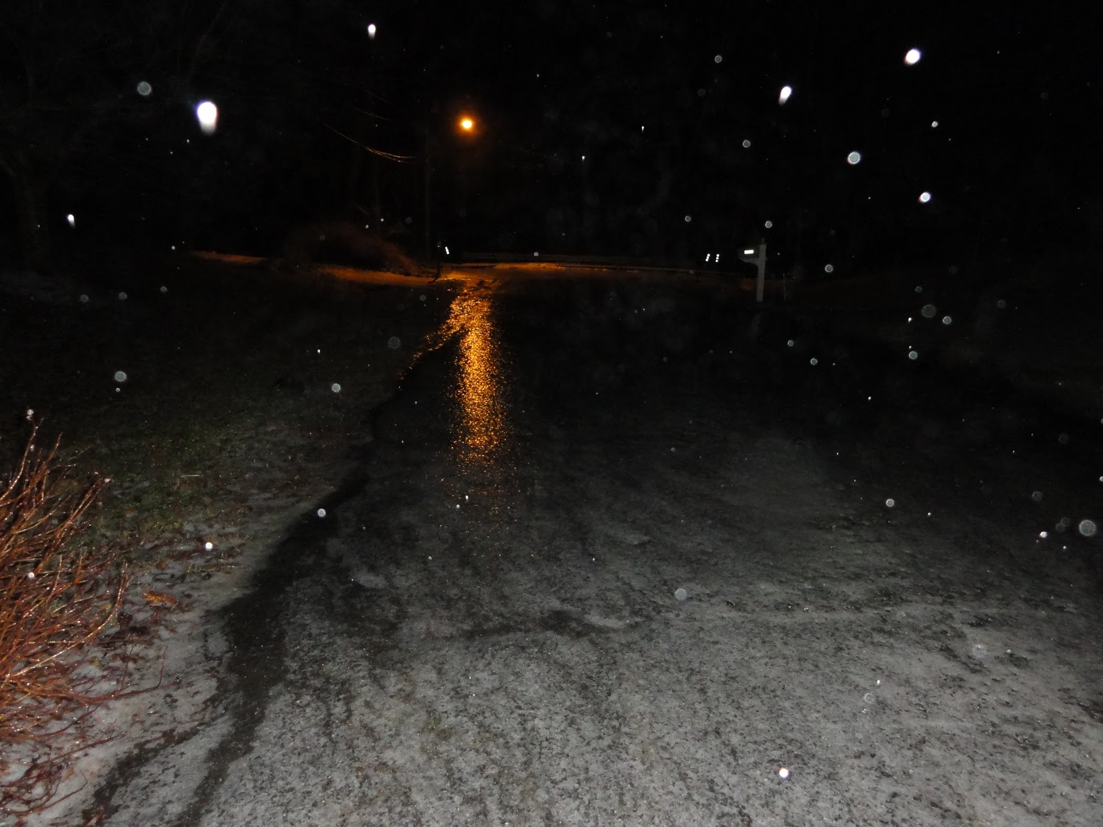
Snow and sleet fall in Montgomery Co, Maryland around 10:30pm on Monday night. 


10:15pm EST -


A mixture of sleet, freezing rain, and snow is continuing in the DC Metro area. The Capital Region Pulse weather team expects this mixing to continue for the next hour or two before the predominate precipitation type becomes freezing rain (ice).

No significant school closures have been reported yet, but stay tuned! Lots of accidents and power outages being reported to the east of the metro area in Anne Arundel County.

(Original Post)

The National Weather Service has issued a Winter Weather Advisory for the entire DC Metro area. Freezing rain, sleet, and snow will impact the area this evening before changing over to all freezing rain later. Moderate amounts of ice are possible. Stay tuned for the latest information.